
3-D LASER SCANNING
3D laser scanning / imaging is a relatively new technology which involves the capture of 3-Dimensional data utilising reflected laser beam signals from surrounding surfaces.
![]()
![]()
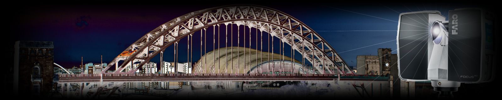
Using the latest Trimble SX10 Scanning Total Station and Faro Focus3D
laser scanners, Geomatics Uk Ltd. offer a comprehensive 3-D Laser Scanning service to customers throughout the UK for industrial or architectural projects. We offer 3D laser scanning services for Architectural and Industrial markets.
With a 3D scan our clients can take virtual tours of sites, taking measurements without the need to return to site. We can supply point clouds, 2D / 3D survey models and CAD drawings and we can tailor our 3D imaging to suit clients requirements according to the project specifications.
We use EdgeWise Building Modeling software by Clear Edge 3D to produce 3D
models - please view the short video below for further information.
KEY BENEFITS
• Accuracy of measurements
• Speed of surveying
• Process scan data to produce as-built drawings
• Dimensions verification – ensuring existing installations & facilities match existing drawings
• Safety of surveying on site, in particular at higher levels
WE CAN PRODUCE
• Point clouds
• BIM models
• 3D solid / surface models
• Rendered visualisations
• 2D Drawings (sections, elevations and floor plans)

| NAVIGATION Home Profile 3D Scanning Projects Contacts News Hire |
CONTACT Geomatics UK Ltd Arch Centre For Enterprise, Suite F19 Lintonville Parkway, Ashington Northumberland, NE63 9JZ (view map) Tel: 01670 528401 Mobile: 07711 619438 enquiries@geomatics-uk.com |
LINKS FARO CHAS ISO9001 RICS CICES Constructionline |
SOCIAL MEDIA |